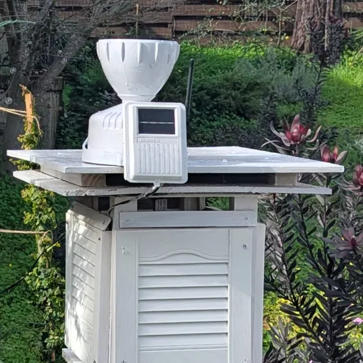
Climate of Redwood City (Emerald Lake Hills)
RWCweather HQ sits approximately 125 m (420 ft) above sea level on a hillside near the top of the Emerald Hills canyon, between Redwood City and Woodside. The climate is the typical Mediterranean one of near-coast California: wet winters and nearly rainless summers, with plentiful sunshine throughout. Annual rainfall averages about 24 inches (600 mm), concentrated from November through March. Thunderstorms are rare, occuring less than once per year, and almost always mild. Snow at this elevation is almost unheard of, but occurs about once a year in the nearby Santa Cruz mountains, with slight accumulations.
Mean highs range from about 15 °C (60 °F) in December and January to 28 °C (82 °F) in July through September, with September typically the warmest month. Mean lows range from about 7 °C (45 °F) in winter to 14 °C (57 °F) in August. The hillside location produces a thermal belt effect: nights run about 1.5 °C (3 F) warmer than the bayside floor on average, as cold air drains into the valleys and bay flats below. During strong inversions we can be more than 5C / 10F warmer. The site receives some shelter from westerly winds, and summer fog is far less common than at the coast, but we do get frequent low clouds on spring and summer mornings.
Long-term climate averages, 1991-2020 (temp, rain); 2005-2015 (sunshine)
These are the long-term average conditions, i.e. the climate normals, at the station. The bracketed comparisons on the monthly, annual and daily reports are measured against them.
Charts
Bars span the normal monthly low to high temperature, with the mean marked; blue columns show the normal monthly rainfall and the gold line shows normal monthly sunshine hours (right-hand axes).
Daily normals are interpolated linearly between the monthly normals, anchored at mid-month, so they change smoothly through the year. These are the values the daily report's brackets compare against.
Source and methods
Source: PRISM 1991-2020 800 m normals, cell center 37.4667,-122.2667 (station approx 37.470,-122.265, Emerald Lake Hills); sunshine estimated from NREL NSRDB via PVGIS 5.2 radiation, 2005-2015
Period: 1991-2020 (temp, rain); 2005-2015 (sunshine)
Temperature and rainfall normals are PRISM Climate Group (Oregon State University) 1991-2020 800 m gridded monthly normals, sampled at the grid cell centred on 37.4667, -122.2667 that contains the station (approx. 37.470, -122.265, Emerald Lake Hills, ~125 m above sea level).
Adjustments were made for the sensor's location (hillside thermal belt).
Sunshine normals are estimated from satellite radiation (NREL NSRDB via PVGIS 5.2, 2005-2015, ~4 km grid) and are approximate, especially in summer. Max possible is sunrise to sunset at the station.
The mean-temperature normal is adjusted for how the station averages: its daily mean (all 1-minute readings) runs below (high + low) / 2, by about 0.3 °C in winter to 1.3 °C in summer, because nights are long and afternoon peaks are brief.
⚒️ Built by Ben Masschelein-Rodgers
🧡 For Pliny, who loved to be outside
🌦️ Sister station: London NW3 weather